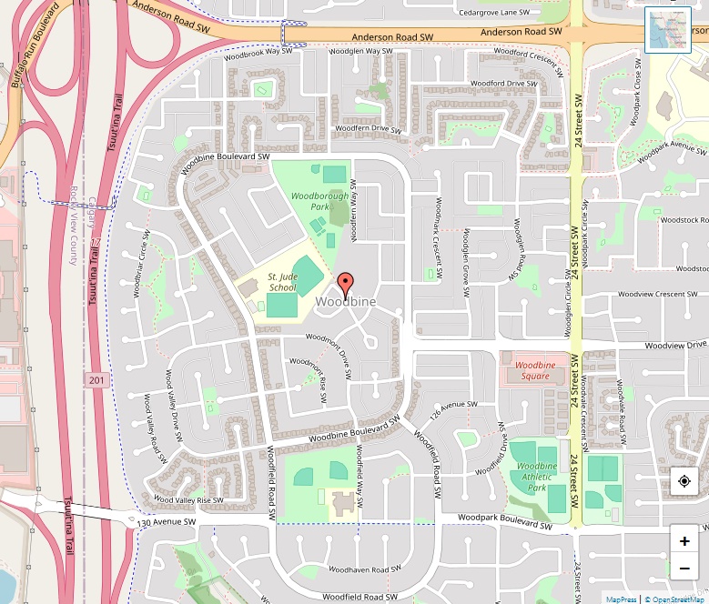
Woodlands Map

Woodlands Map

Woodlands is a serene residential community located in the southwest quadrant of Calgary, Alberta, framed by coordinates 50°56′29″N 114°06′32″W. The neighborhood boasts a desirable elevation of 1,070 meters, giving it a distinct position within the city. Location The area is outlined by Fish Creek Provincial Park to the south, offering a rich natural boundary. The … Read more

Woodbine Map

Woodbine Map

Established in the year 1980, Woodbine has grown into a well-developed community in the city. This residential neighbourhood stretches to the western edge of Calgary. It is framed by Anderson Road to the north, Tsuut’ina Trail to the west, 24th Street W to the east, and the picturesque Fish Creek Provincial Park to the south. … Read more

Winston Heights-Mountview Map

Winston Heights-Mountview Map

Location Winston Heights-Mountview is a residential area positioned in Calgary’s northeast quadrant. It is geographically marked by 51°04′16″N latitude and 114°00′48″W longitude. The elevation of the neighborhood is about 1,090 meters above sea level. he community is enclosed by 32 Avenue N to the north, Nose Creek and Deerfoot Trail to the east, the Trans-Canada … Read more

Windsor Park Map

Windsor Park Map

Location and Geography Windsor Park is situated in the southwest quadrant of Calgary, Alberta, with coordinates 51°00′18″N 114°04′35″W. The neighborhood is bordered by 50 Avenue S to the north, Macleod Trail to the east, 58 Avenue S to the south, and is flanked to the west by the prestigious Calgary Golf & Country Club as … Read more

Willow Park Map

Willow Park Map

Willow Park is nestled in Calgary’s southeast quadrant, offering a mix of amenities and residential comfort. Established in 1965 after its annexation in 1956, it stretches over 3.3 square kilometers at an elevation of 1,050 meters. The Willow Park golf course runs through the heart of the neighborhood, adding green space and recreational opportunities for … Read more

Wildwood Map

Wildwood Map

Wildwood, a peaceful and scenic neighborhood in Calgary, Alberta, offers residents a suburban feel with the advantage of city amenities and the tranquility of adjacent natural landscapes. Location and Development The community’s coordinates are 51°03′07″N 114°09′03″W, situated at an elevation of 1,140 meters, providing it with spectacular views of the surroundings. Although the area where … Read more

Whitehorn Map

Whitehorn Map, Calgary

Located in the northeast quadrant of Calgary, Alberta, Whitehorn is a vibrant, multicultural neighborhood known for its accessibility and family-friendly atmosphere. Geographic Location With coordinates at 51°05′04″N 113°58′08″W, Whitehorn is comfortably nestled in the city, boasting a modest elevation of 1,095 meters. Population According to the 2012 municipal census, Whitehorn experienced a population growth to … Read more

Westgate Map

Westgate Map, Calgary

Tucked in the southwest quadrant of Calgary, Westgate is a quaint residential neighborhood defined by its rich history and community spirit. Location Westgate’s geographic coordinates are 51°02′41″N 114°09′33″W, and it stands at an elevation of 1,140 meters. This residential enclave is strategically bordered by Bow Trail to the north, Sarcee Trail to the west, 45 … Read more

West Springs Map

West Springs Map, Calgary

Nestled in Calgary’s southwest quadrant, West Springs is a thriving residential neighborhood that harmoniously combines urban conveniences with a serene suburban lifestyle. Geographics With geographic coordinates of 51°03′35″N 114°11′36″W, West Springs perches at an elevation of 1,235 meters above sea level. This position offers residents stunning views of the surrounding Alberta landscape. This area, once … Read more

West Hillhurst Map

West Hillhurst Map, Calgary

In the heart of Calgary’s northwest quadrant, you’ll find the charming neighborhood of West Hillhurst. This area, with its prime location close to the vibrant city center and the tranquility of the Bow River, has become one of Calgary’s most beloved inner suburbs. Location and Landscape West Hillhurst is neatly positioned at the coordinates 51°03′30″N … Read more