Walden Map

Walden Map, Calgary

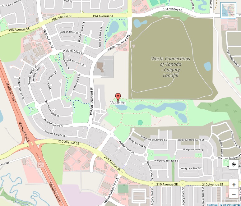
Walden stands as a symbol of modern suburban living, mirroring the serene and self-reliant ethos immortalized in Henry David Thoreau’s classic, “Walden.” A Vision of Community Living Established in 2007, after being annexed by Calgary in 2005, Walden represents one of the city’s newer communities, a testament to thoughtful urban planning and a commitment to … Read more

Vista Heights Map

Vista Heights Map, Calgary

Vista Heights offers a mix of residential housing options and is bordered by industrial areas to the north and east, which provides a unique dynamic to the neighborhood. Boundaries The neighborhood is well-defined by significant transport links: South boundary: Trans-Canada Highway West boundary: Deerfoot Trail North and East boundaries: South Airways Industrial Are Demographics According … Read more

Varsity Map

Varsity Map, Calgary

Varsity is a diverse and well-established community in Calgary’s Northwest, known for its variety in housing, good amenities, and proximity to major city attractions, including the University of Calgary. Community Layout The neighborhood is structured into three areas: Varsity Acres: The oldest area with a classic 1960s folded grid street pattern. Varsity Village: Known for … Read more

Valley Ridge Map

Valley Ridge Map, Calgary

Valley Ridge is a residential neighborhood on the outskirts of northwest Calgary, offering scenic views and a suburban lifestyle that’s integrated with recreational amenities like a golf course. History and Development Established in 1992 on the land that once hosted the Happy Valley Campground—a popular recreational spot until the 1980s—Valley Ridge has transformed from a … Read more

Mount Royal Map

Mount Royal Map, Calgary

Upper Mount Royal is a distinguished area in Calgary, Alberta, known for its affluence and historic significance. It comprises two distinct sections: Upper Mount Royal, the southern part known for its luxury estates, and Lower Mount Royal, the northern section on flatter terrain. Geographical Coordinates Mount Royal is located at coordinates 51°01′57″N 114°05′01″W. With an … Read more

University Heights Map

University Heights Map, Calgary

University Heights stands as a compact but distinguished residential area within Calgary, Alberta. Known for its proximity to significant city landmarks and its educational surroundings, it offers a prime location in the northwest quadrant of the city. Geographical Coordinates The coordinates for University Heights are 51°04′20″N 114°08′9″W, positioning it within a dynamic part of the … Read more

Tuxedo Park Map

Tuxedo Park Map, Calgary

Tuxedo Park stands as a long-standing community within the urban tapestry of Calgary, Alberta. Established in the early 20th century, this residential neighborhood weaves together both the northeast and northwest quadrants of the city. Geographic Positioning The neighborhood is strategically situated, with 32 Avenue N to the north, Edmonton Trail to the east, the Trans-Canada … Read more

Tuscany Map

Tuscany Map, Calgary

the residential community of Tuscany stands out as a recent addition to the city’s neighborhoods, having been established in 1994. Its picturesque setting and modern amenities offer a high quality of life to its residents. Geographic Location and Name Origins Tuscany’s location is both scenic and strategic, bordered by major roads and natural features. It … Read more

Thorncliffe Map

Thorncliffe Map, Calgary

Thorncliffe is a community that offers a harmonious blend of natural landscapes and residential areas, nestled within the bustling city of Calgary, Alberta. Its positioning in both the northwest and northeast quadrants of the city makes it unique and accessible. Geographical Boundaries The neighborhood is geographically marked by 64 Avenue N to the north, Deerfoot … Read more

Temple Map

Temple Map, Calgary

Temple is a well-established residential neighborhood in Calgary, Alberta, known for its diversity and community-oriented living. This neighborhood has evolved since its inception in the late 1970s to become a staple part of Calgary’s northeastern landscape. Geographical Boundaries Situated at coordinates 51°05′20″N 113°56′49″W, Temple is neatly bordered by major roads: McKnight Boulevard to the north, … Read more