Erin Woods Map

Erin Woods Map

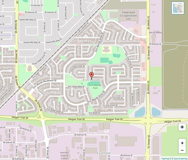
Erin Woods is a vibrant residential neighbourhood located in the southeast quadrant of Calgary, Alberta. It stands out with its strategic position at the eastern edge of the city, bounded by 52 Street E to the east, Peigan Trail to the south, and the Canadian National Railway tracks to the north and west. Established in … Read more

Elboya Map

Elboya Map

Elboya stands as a captivating residential neighborhood in the southwest quadrant of Calgary, Alberta, offering a blend of tranquility and urban convenience. Established in 1947 and annexed to the City of Calgary in 1910, Elboya has evolved into a thriving community with a rich history and a welcoming atmosphere. Geography and Demographics Spanning across 1.0 … Read more

Elbow Park Map

Elbow Park Map

Elbow Park is one of Calgary’s most prestigious and affluent residential neighborhoods, nestled in the southwest quadrant of the city. With its establishment dating back to 1910, the community boasts a rich history, exquisite homes, and a prime location that offers both tranquility and easy access to city amenities. Geography and Demographics The neighborhood enjoys … Read more

Edgemont Map

Edgemont Map

Edgemont is a sprawling residential community in northwest Calgary, Alberta, boasting a unique landscape shaped by its location on the extension of Nose Hill and elevated terrains. The community offers stunning views of Calgary’s skyline and the majestic Rocky Mountains. Geography and Demographics Edgemont is strategically bounded by John Laurie Boulevard to the south, Sarcee … Read more

Eau Claire Map

Eau Claire Map

Eau Claire is a vibrant neighborhood in Calgary, Alberta, Canada, renowned for its riverside condominiums, diverse shopping outlets, varied dining options, hotels, and a spacious public plaza. It also holds the city’s Festival District, making it a hub of activity and one of Calgary’s most sought-after areas. The community is situated immediately north of Downtown, … Read more

Eagle Ridge Map

Eagle Ridge Map

Eagle Ridge stands as an affluent and exclusive residential neighbourhood, perched on a peninsula within the Glenmore Reservoir in Calgary’s southwest quadrant. It boasts a unique combination of natural serenity, recreational opportunities, and proximity to urban conveniences, despite its central location near the city’s bustling downtown and surrounding communities. Eagle Ridge is recognized as one … Read more

West End Map

West End Map

The Downtown West End is a bustling neighbourhood situated within the western parts of downtown Calgary, Alberta, Canada. Surrounded by natural beauty and urban conveniences, it is bounded by the Bow River to the north, 9th Street W to the east, CPR Tracks to the south, and 14th Street W to the west. The area … Read more

East Village Map

East Village Map

Located within the eastern portions of downtown Calgary, Alberta, Downtown East Village, more commonly known as East Village, is a vibrant mixed-use neighborhood that has undergone significant transformation over the years. It falls within the city’s Rivers District and encompasses some of the earliest settled land in the Calgary area, including the historic Fort Calgary. … Read more

Downtown Calgary Map

Downtown Calgary Map

Downtown Calgary stands as a dense urban district in the heart of Calgary, Alberta, proudly housing the second largest concentration of head offices in Canada. Despite being the fourth largest city in the country by population, Calgary’s downtown bustles with activity, divided into several distinct neighborhoods catering to residential, commercial, corporate, and mixed-use purposes. Neighborhoods … Read more

Dover Map

Dover Map

Nestled in the southeast quadrant of Calgary, Alberta, Dover is a thriving residential neighbourhood marked by its vibrant community and scenic surroundings. Bordered by 26 Avenue SE to the north, Peigan Trail to the south, 24 Street SE and Deerfoot Trail to the west, and 36 Street SE to the east, Dover offers a mix … Read more