Douglasdale/Douglasglen Map

Douglasdale/Douglasglen Map

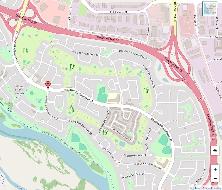
Douglasdale-Douglasglen is a vibrant residential community located in the southeast quadrant of Calgary, Alberta. Established in 1986, this neighbourhood has flourished into a sought-after area for families and professionals alike. With its prime location, bordered by 114 Avenue S to the north, 130 Avenue S to the south, Deerfoot Trail to the east, and the … Read more

Discovery Ridge Map

Discovery Ridge Map

Situated at the western outskirts of Calgary, Alberta, Discovery Ridge is a residential neighbourhood that seamlessly blends natural beauty with modern living. With its prime location in the southwest quadrant of the city, the community has become one of the city’s most desirable areas to reside. Geographic Location Discovery Ridge is bordered by Stoney Trail … Read more

Diamond Cove Map

Diamond Cove Map

Diamond Cove is a small yet prestigious residential neighbourhood positioned in the southeast quadrant of Calgary, Alberta. Known for its tranquil atmosphere and close proximity to major roadways and the Bow River, Diamond Cove offers a unique living experience within the bustling city of Calgary. Geographic Location The neighbourhood is strategically bounded to the north … Read more

Deer Run Map

Deer Run Map

Deer Run is a captivating residential neighbourhood situated in the southeast quadrant of Calgary, Alberta. Renowned for its picturesque location within a bend of the Bow River and its adjacency to the lush Fish Creek Provincial Park, Deer Run provides a tranquil and nature-infused living experience. Geographic Location Coordinates: 50°55′05″N 114°00′30″W. Deer Run is encased … Read more

Deer Ridge Map

Deer Ridge Map

Deer Ridge stands out as a serene and scenic residential neighbourhood in the southeast quadrant of Calgary, Alberta. Settled in the beautiful Bow River valley, this community offers a tranquil living environment. Geographic Location The coordinates for Deer Ridge are 50°55′35″N 114°00′51″W, placing it amidst natural beauty while still providing access to city amenities. The … Read more

Dalhousie Map

Dalhousie Map

Dalhousie is a vibrant residential neighbourhood located in the northwest part of Calgary, Alberta. With a mix of natural beauty and urban accessibility, the area offers a balanced lifestyle for its residents. Geographic Location The coordinates for Dalhousie are 51°06′35″N 114°09′32″W, placing it strategically near major roadways and transit options. It is bordered by John … Read more

Crestmont Map

Crestmont Map

Crestmont is a residential neighborhood situated in the southwest quadrant of Calgary, Alberta. It stands at the city’s western edge, offering residents a balance between urban convenience and a connection to the natural surroundings. Geographic Location The coordinates for Crestmont are 51°05′10″N 114°15′49″W. Positioned south of the Trans-Canada Highway, the neighborhood enjoys easy accessibility while … Read more

Crescent Heights Map

Crescent Heights Map

Crescent Heights is a remarkable neighborhood in Calgary, Alberta, boasting a rich history and a prime location just north of Downtown. Originally a village, it has seamlessly integrated into the urban fabric of Calgary, offering residents a unique blend of history, community, and accessibility. Location Situated at 51°03′48″N 114°03′45″W, Crescent Heights spans across both the … Read more

Cranston Map

Cranston Map

Cranston stands out as a master-planned residential neighborhood situated in the southeast quadrant of Calgary, Alberta. Since its inception in 1999 by Carma Developments, Cranston has transformed from farming land into a diverse and vibrant community. Geographic Coordinates and Boundaries Nestled at 50°53′32″N 113°59′01″W, Cranston is flanked by Stoney Trail in the north, while Fish … Read more

Coventry Hills Map

Coventry Hills Map

Coventry Hills, established in 1991, stands as a suburban residential neighbourhood in the northeast quadrant of Calgary, Alberta. With its strategic location at the northern edge of the city, it offers residents a blend of tranquility and urban convenience. Geographic Coordinates and Boundaries Coventry Hills is positioned at 51°09′38″N 114°03′00″W, bordered by Stoney Trail to … Read more