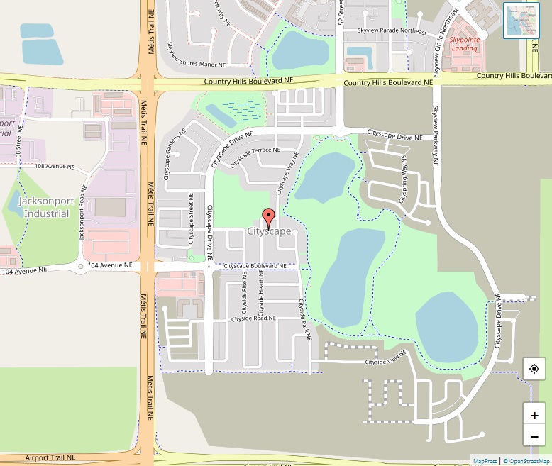
Country Hills Map

Country Hills Map

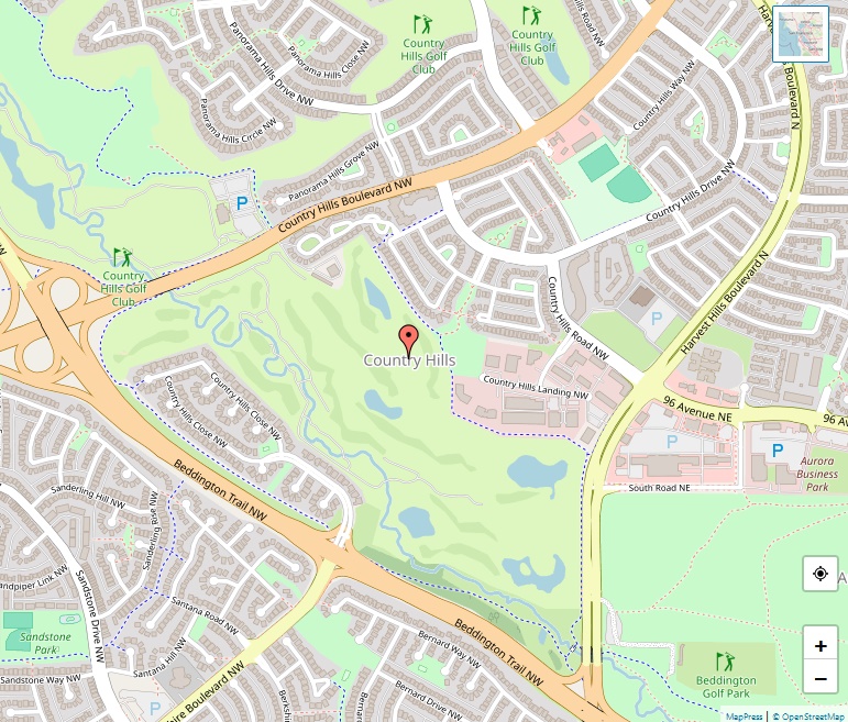
Country Hills stands as a serene residential neighbourhood in the northwest quadrant of Calgary, Alberta. Established in 1990, it has grown to be a peaceful enclave, providing residents with a balanced lifestyle surrounded by natural beauty and urban convenience. Geographic Coordinates Located at 51°08′37″N 114°04′20″W, Country Hills is strategically positioned, bounded by Country Hills Boulevard … Read more

Cougar Ridge Map

Cougar Ridge Map

Cougar Ridge stands as a residential neighbourhood known for its picturesque surroundings and affluent lifestyle. Established in 2001, the community has rapidly developed into a sought-after area for families and professionals alike. Geographic Coordinates Situated at 51°04′19″N 114°12′12″W, Cougar Ridge benefits from its strategic location, offering residents easy access to natural landscapes and urban amenities. … Read more

Coral Springs Map

Coral Springs Map

Coral Springs stands as a unique residential enclave in the northeast quadrant of Calgary, Alberta, adopting a Californian architectural style and layout. Established in 1991, this community has developed a distinct identity, centered around its picturesque lake and lush surroundings. Geographic Location Coral Springs occupies a strategic position at the eastern edge of Calgary, with … Read more

Coach Hill Map

Coach Hill Map

Coach Hill stands as a peaceful and welcoming residential neighbourhood. Established in the latter part of the 20th century, this community has grown to become a cherished home for families and individuals alike. Geographic Overview With geographical coordinates set at 51°03′21″N 114°10′45″W, Coach Hill covers a total area of 1.1 km² (0.4 sq mi) and … Read more

Cliff Bungalow Map

Cliff Bungalow Map

nestled in the heart of the city’s southwest quadrant. Established in the early 20th century, this inner-city residential neighbourhood has transformed over the decades while maintaining its historical charm and vibrant community spirit. Geographic Setting Positioned at coordinates 51°02′00″N 114°04′27″W, Cliff Bungalow spans an area of 0.3 km² (0.1 sq mi) with an elevation of … Read more

Cityscape Map

Cityscape Map

Cityscape, a relatively new residential neighbourhood, is carving its identity in the northeast quadrant of Calgary, Alberta. With its strategic location and growing infrastructure, Cityscape is fast becoming a popular choice for families and individuals looking to put down roots in a vibrant community. Geographical Overview Situated at 51°08′49″N latitude and 113°57′29″W longitude, Cityscape offers … Read more

Citadel Map

Citadel Map

Citadel, a vibrant community nestled in Northwest Calgary, stands as a testament to the city’s commitment to providing a high quality of life to its residents. Established in 1993, following its annexation in 1983, the neighbourhood has developed into a sought-after residential area. Location and Accessibility Strategically positioned and bordered by major roads, Citadel enjoys … Read more

Christie Park Map

Christie Park Map

Nestled in the southwest quadrant of Calgary, Alberta, Christie Park is a residential neighbourhood known for its tranquil ambiance and convenient location. Established in 1990, the community has grown to be a popular choice for families and individuals alike, seeking a balance between suburban life and urban convenience. Geographical Splendor and Accessibility Spanning an area … Read more

Chinook Park Map

Chinook Park Map

Chinook Park is a well-established residential neighbourhood situated in the southwest quadrant of Calgary, Alberta. With its strategic location and diverse community, it provides a serene and comfortable living environment for its residents. Geographic Location Bounded by major roads like Glenmore Trail, Elbow Drive, 14 Street W, and Heritage Drive, Chinook Park enjoys easy accessibility … Read more

Chinatown Map

Chinatown Map

Calgary’s Chinatown is a vibrant and culturally rich district located in the southeast area of Downtown Calgary. Renowned for its Asian-influenced architecture, shopping centers, and diverse culinary offerings, it serves as a focal point for the Chinese community and visitors alike. Geographic Location Positioned along Centre Street and immediately west of the Downtown East Village, … Read more