Shaganappi Map

Shaganappi Map, Calgary

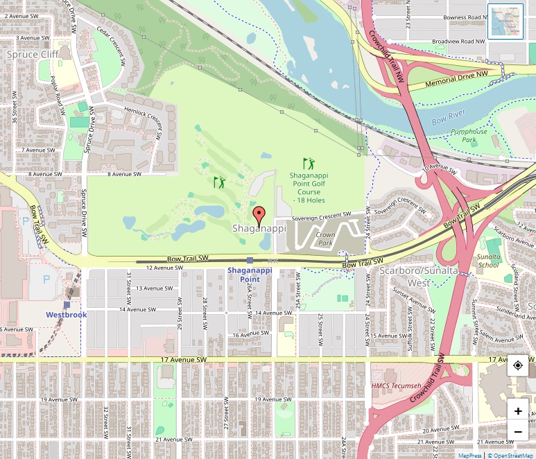
Shaganappi, located in the heart of Calgary’s southwest quadrant, presents a unique blend of history, community spirit, and urban living. Established in the mid-20th century, this neighborhood has grown to be a vibrant part of Calgary’s cityscape. Historical Background The name “Shaganappi” traces back to its Cree origins, dating as far back as 1870. The … Read more

Seton Map

Seton Map, Calgary

Seton stands as a beacon of modern suburban living, integrating residential, commercial, and institutional spaces within Calgary’s Southeast quadrant. Still under construction, this innovative community promises a blend of urban convenience and suburban tranquility. Geographic Overview Situated directly south of Auburn Bay and east of Cranston, Seton’s current boundaries include Deerfoot Trail to the west, … Read more

Scenic Acres Map

Scenic Acres Map, Calgary

Scenic Acres, located in Calgary’s northwest quadrant, is a picturesque and vibrant residential neighbourhood known for its spacious green areas and family-friendly atmosphere. Bordered by Crowchild Trail to the north, Nose Hill Drive to the east and south, and Stoney Trail to the west, Scenic Acres offers residents a serene environment with convenient access to … Read more

Scarboro Map

Scarboro Map, Calgary

Nestled in the southwest quadrant of Calgary, Alberta, Scarboro stands out as a residential neighborhood known for its historical charm, affluence, and scenic hilltop setting. Established in 1910, Scarboro has evolved into a prestigious community, offering its residents a unique blend of urban convenience and suburban tranquility. Geography Scarboro’s geographical coordinates, 51°02′20″N 114°06′29″W, position it … Read more

Sandstone Valley Map

Sandstone Valley Map, Calgary

Nestled in the northwest quadrant of Calgary, Alberta, Sandstone Valley is a picturesque suburban neighborhood characterized by its tranquil streets, sprawling parks, and a vibrant community spirit. With Nose Hill Park as its scenic backdrop, Sandstone Valley offers an idyllic blend of urban convenience and natural beauty. Location Sandstone Valley’s geographical coordinates, 51°08′22″N 114°05′48″W, place … Read more

Sage Hill Map

Sage Hill Map, Calgary

Sage Hill, a suburban neighborhood gracing the northwest quadrant of Calgary, Alberta, Canada, stands as a testament to modern living and community development. Enclosed by the communities of Nolan Hill, Evanston, and Kincora, and having West Nose Creek as a natural landmark within its borders, Sage Hill is a picturesque locale offering both tranquility and … Read more

Saddle Ridge Map

Saddle Ridge Map, Calgary

Situated in the northeast quadrant of Calgary, Alberta, Saddle Ridge stands as a testament to the city’s vibrant diversity and urban development. Bounded by Airport Trail NE, Stoney Trail NE, 80 Avenue NE, and Métis Trail, the neighborhood enjoys a strategic location at the northeastern edge of the city, near important infrastructures such as the … Read more

Rutland Park Map

Rutland Park Map, Calgary

Rutland Park, located in the inner city of Calgary, Alberta, is a residential neighbourhood that combines the tranquility of suburban living with the convenience of city amenities. Established in 1952, this community has grown to be a sought-after location for families and professionals alike. Location and Boundaries Rutland Park is strategically situated in the southwest … Read more

Rundle Map

Rundle Map, Calgary

Rundle is a vibrant residential neighbourhood nestled in the northeast quadrant of Calgary, Alberta. Established in 1973, the community has flourished, offering a welcoming and inclusive environment for its residents. Geographical Boundaries Rundle enjoys a strategic location bordered by 32 Avenue NE to the north, 16 Avenue NE (Trans-Canada Highway) to the south, 52 Street … Read more

Royal Vista Map

Royal Vista Map, Calgary

Royal Vista stands as a significant business park situated in the northwest quadrant of Calgary, Alberta, Canada. The area serves as a vibrant hub for businesses, playing a crucial role in the economic development of the region. Geographical Boundaries The business park enjoys a strategic location, bordered by Country Hills Boulevard to the southwest, Stoney … Read more