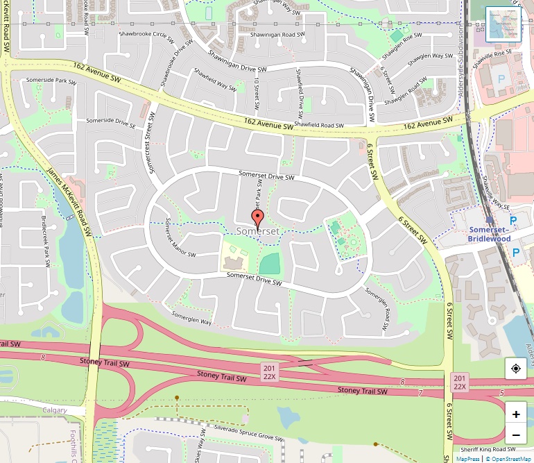
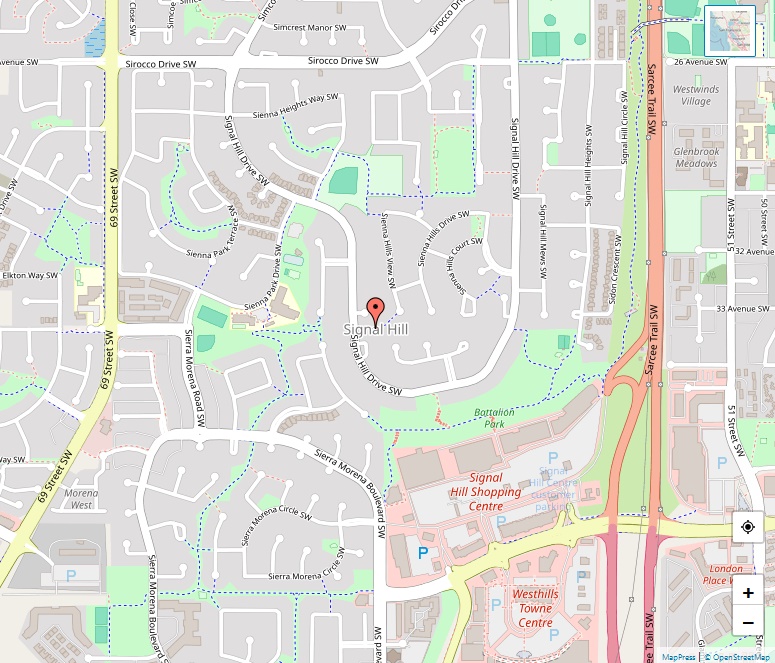
South Calgary Map

South Calgary Map

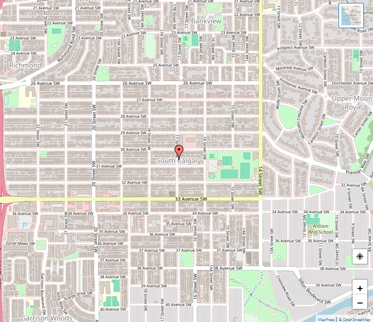
South Calgary is a vibrant residential neighborhood situated in the southwest quadrant of Calgary, Alberta. With its rich history, established community amenities, and a strategic location, it offers a unique living experience in one of Canada’s most dynamic cities. Geographic Location South Calgary is positioned at coordinates 51°01′33″N 114°06′34″W, nestled between 14th St West and … Read more

Somerset Map

Somerset Map, Calgary

Somerset is a warm and welcoming residential neighbourhood located in the southwest quadrant of Calgary, Alberta, Canada. Positioned at the city’s southern edge, it provides a perfect blend of suburban peace and urban convenience. Geographic Location The community can be found at coordinates 50°53′52″N 114°04′52″W, bordered by Stoney Trail to the south, Bridlewood to the … Read more

Skyview Ranch Map

Skyview Ranch Map, Calgary

Skyview Ranch, a vibrant residential neighbourhood, is situated in the northeastern quadrant of Calgary, Alberta, Canada. The community is well-placed near the northern edge of the city, providing residents with a perfect balance of suburban tranquility and urban accessibility. Geographic Location The neighbourhood is precisely located at coordinates 51°09′35″N 113°57′34″W. It is bordered by Métis … Read more

Silverado Map

Silverado Map, Calgary

Nestled in the southwest quadrant of Calgary, Alberta, Silverado is a serene residential neighbourhood known for its picturesque settings and proximity to the renowned equestrian sports facility, Spruce Meadows. Geographic Location Situated at coordinates 50°53′09″N 114°04′15″W, Silverado is strategically positioned near Calgary’s southern edge, bordered by Stoney Trail to the north, Sheriff King Street to … Read more

Silver Springs Map

Silver Springs Map, Calgary

Silver Springs is a picturesque residential neighborhood located in the northwest quadrant of Calgary, Alberta, Canada. Enveloped by natural beauty and offering a range of amenities, it stands as a vibrant and inviting community. Geographics With coordinates of 51°06′22″N 114°11′19″W, Silver Springs is nestled between major roads and natural landmarks. It is bounded to the … Read more

Signal Hill Map

Signal Hill Map, Calgary

Signal Hill is a prominent community situated in the southwest quadrant of Calgary, Alberta, Canada. Encompassing the residential neighborhoods of Sienna Hills and Signal Ridge, it boasts a rich history, excellent amenities, and a strong community spirit. Geographics Signal Hill is strategically positioned, bordered by Sarcee Trail to the east, 17th Ave to the north, … Read more

Sherwood Map

Sherwood Map, Calgary

Sherwood stands as a vibrant residential neighbourhood in the northwest quadrant of Calgary, Alberta, Canada. With its strategic location near the city’s northern edge and a variety of community-led events, Sherwood offers a dynamic living experience for its residents. Geographics Encompassing a land area of 2.4 km² and positioned at coordinates 51°09′40″N 114°09′11″W, Sherwood is … Read more

Shepard Industrial Map

Shepard Industrial Map, Calgary

Shepard Industrial stands as a unique neighborhood in the southeast quadrant of Calgary, Alberta, known for its predominant industrial landscape alongside a small residential area. This community offers a distinctive living experience, combining the hustle and bustle of industrial activities with the comforts of residential life. Demographic Profile and Housing The 2012 municipal census revealed … Read more

Shawnessy Map

Shawnessy Map, Calgary

Shawnessy is a vibrant suburban residential neighborhood located in the southwest quadrant of Calgary, Alberta, Canada. Established in 1981, it has grown into a thriving community, well-connected by public transportation and surrounded by a variety of amenities. Geography Spanning 2.7 km² and situated at an elevation of 1,060 meters, Shawnessy is bordered by Shawnessy Boulevard, … Read more

Shawnee Slopes Map

Shawnee Slopes Map, Calgary

Shawnee Slopes is a picturesque residential neighborhood situated in the southwest quadrant of Calgary, Alberta, Canada. With its prime location bordered by James McKevitt Road, Macleod Trail, Fish Creek Provincial Park, and Evergreen Street SW, Shawnee Slopes offers a harmonious balance between urban convenience and natural beauty. Geographic and Demographic Overview Spanning an area of … Read more