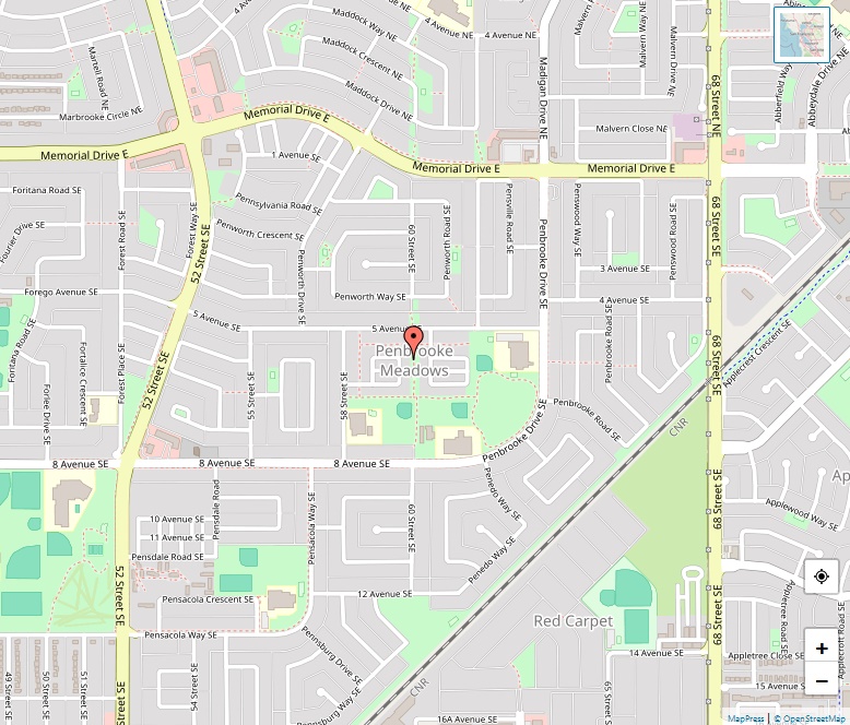
Red Carpet Map

Red Carpet Map, Calgary

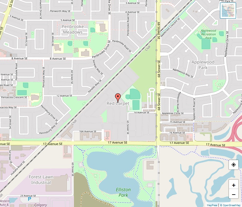
Red Carpet is a vibrant community established in 1969. The neighborhood is uniquely situated between the CN tracks, 17 Avenue SE, and 68 Street SE, offering residents a blend of urban conveniences and natural beauty. Location Red Carpet spans an area of 0.5 km² (0.2 sq mi), sitting at an elevation of 1,055 m (3,461 … Read more

Ranchlands Map

Ranchlands Map, Calgary

Ranchlands is a serene residential neighborhood located in the northwest quadrant of Calgary, Alberta. Established in 1977 after being annexed to the City of Calgary in 1961, Ranchlands has grown to become a vibrant community, offering a blend of residential amenities and natural beauty. Location The community is geographically positioned with John Laurie Boulevard to … Read more

Ramsay Map

Ramsay Map, Calgary

Ramsay is a vibrant residential neighborhood situated in the southeast quadrant of Calgary, Alberta. Covering an area of 0.9 km² (0.3 sq mi) and at an elevation of 1,065 m (3,494 ft), Ramsay combines inner-city living with a rich historical background. Location Strategically located east of the Elbow River, Macleod Trail, Stampede Grounds, and the … Read more

Queensland Map

Queensland Map, Calgary

Queensland, established in 1973, is a vibrant residential neighborhood situated in the southeast quadrant of Calgary, Alberta. It covers a total area of 1.8 km² (0.7 sq mi) and is positioned at an elevation of 1,030 m (3,380 ft). Location and Boundaries The community of Queensland is bordered by Diamond Cove to the north, the … Read more

Pump Hill Map

Pump Hill Map, Calgary

Pump Hill, a residential neighborhood in Calgary, Alberta, is renowned for its affluent and serene living environment. Located in the southwest quadrant of the city, the community is well-established, offering a unique living experience for its residents. Geographic Location Pump Hill is strategically positioned, surrounded by major roads and landmarks. To the north, it is … Read more

Point Mckay Map

Point Mckay Map, Calgary

Point McKay stands out as a quaint residential neighborhood nestled in the northwest quadrant of Calgary, Alberta. With its strategic location and rich history, it offers a unique living experience for its residents. Location and Boundaries Point McKay is bounded to the north by Bowness Road and to the south by the Bow River, providing … Read more

Pineridge Map

Pineridge Map, Calgary

Pineridge, a vibrant neighborhood in Northeast Calgary, Alberta, is part of a collection of communities known as the Properties, alongside Whitehorn, Temple, and Rundle. Established in 1974, Pineridge has developed into a thriving residential area with a rich community life and access to various amenities. Location and Boundaries Pineridge is strategically located, with 32 Ave … Read more

Penbrooke Meadows Map

Penbrooke Meadows Map, Calgary

Penbrooke Meadows, a residential neighbourhood located in the southeast quadrant of Calgary, Alberta, offers a diverse and vibrant community living experience. Bounded by major roads and avenues, this neighbourhood is part of the International Avenue Business Revitalization Zone, providing residents with a unique blend of cultural richness and accessibility. Location Penbrooke Meadows is strategically positioned, … Read more

Patterson Map

Patterson Map, Calgary

Nestled in the southwest quadrant of Calgary, Alberta, Patterson Heights stands as a residential neighbourhood enriched with history and panoramic views. Bordered by prominent roads and natural parks, the community offers a serene living environment with convenient access to urban amenities. Location and Boundaries Patterson Heights is strategically located, bounded by Sarcee Trail to the … Read more

Parkland Map

Parkland Map, Calgary

Tucked away in the southeast quadrant of Calgary, Alberta, Parkland stands out as a tranquil and scenic residential neighbourhood. With its proximity to the lush Fish Creek Provincial Park, the community offers a unique blend of urban conveniences and natural beauty. Boundaries and Setting Parkland is strategically bounded by Canyon Meadows Drive to the north, … Read more